*** Note, the address for the map layers has changed and these instructions are no longer current. Please see https://help.trap.nz/books/trapnz-comprehensive-user-guide/page/accessing-map-feeds***
Trap NZ provides OGC Web Feature Services (WFS) layers. The base URL for this service is:
https://trap.nz/wms/features/[your project id]
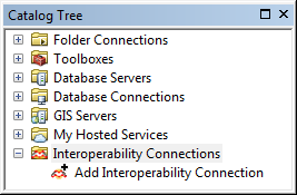
To use these with Arc Desktop you need the ArcGIS Data Interoperability extension installed. If installed you should see an option to add an Interoperability Connection in the Catalog Tree
To add the Trap.NZ layers:
-
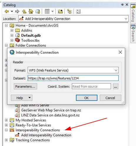
Double-click Add Interoperability Connection. Under Format, select WFS (Web Feature Service), and then add the URL as above (the project ID is the node number that you can get from the URL after selecting the project in Trap.NZ. )
-
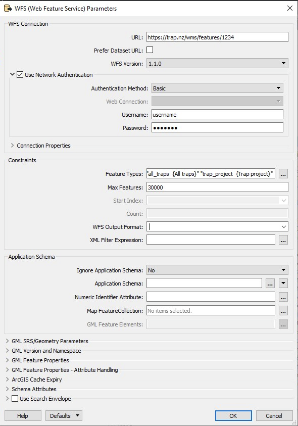
Select Parameters and enter the values as below. After entering your username and password you can click the … alongside the Feature Types to select the available features.
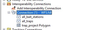
After entering the parameters you should see the available WFS layers.