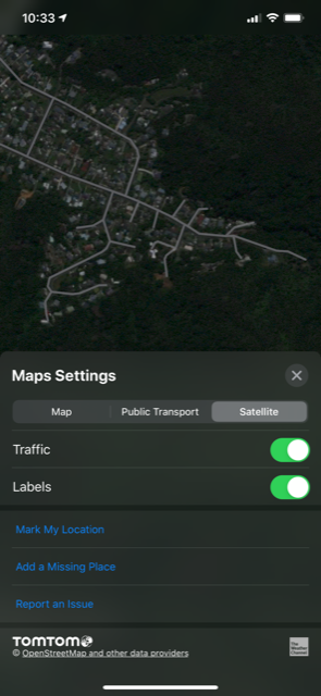
Can we please have a new Basemap display of Hybrid where the Streets features are overlaid on top of the Satellite picture (similar to the Google Maps option).
We have a plentiful network of tracks within our camp valley, which are now all part of the Streets map.
However, some of our team prefer to use the Satellite picture, but want the track network to appear on it. The result is we are setting up the trap lines not as trap lines, but as tracks. An example is a single loop trap clearing walk required using 7 different “trap lines” in TrapNZ.
Ideally we should be entering TrapNZ trap lines as trap lines only, and have them sitting over the top of the tracks. We need to keep our trap lines logistically true and therefore simple to follow on the ground and enter data in the app, but at the same time see the network of tracks we are using/passing/need to exit quickly from. Of course this works perfectly in Streets view, but for those who want to use the satellite picture, there’s no equivalent option, so introducing a hybrid base map would be ideal. I’d hope this isn’t a big feature request as it’s pretty much standard functionality elsewhere in the mapping world.
Thanks
Grant